The greatest risk for severe weather will be over central South Dakota, although some severe weather is possible across much of the midwest on Saturday.
Sunday and Monday are still highlighted as days to watch for even more severe weather:
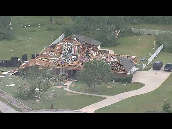
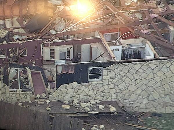
Update on the Texas tornadoes: The first light of day came in Granbury, and what they saw was incredible (via KXAS-TV, Dallas):


Survey teams are out in Johnson, Hood, and Parker Counties, TX, to observe the tornado damage. 6 have been reported dead, 100 injured, and 14 still missing was the last number I had heard from the reports.
As I mentioned last night, the tornado actually passed southwest of Cleburne, and as it hit the northern part of Rio Vista, turned straight north and went back toward the southern part of Cleburne and shortly thereafter began to weaken. A short time after that it turned back to the southeast, and a new TDS appeared over Cuba, Texas.

No comments:
Post a Comment